Maine pheasant stocking dates and sites for fall 2026, from MDIFW's own list: 3 dates, 19 sites.
All of MDIFW's 2026 stockings are done. The last was Sun., Oct. 18.
MDIFW doesn't publish per-site counts. Whole program: about 2000 pheasants at +/- 20 sites in York and Cumberland Counties
.
Pheasant Hunting Program
There is a daily bag limit of 2 birds, either sex.
The permit will cost $26 again this year.
Remember, hunters must be at least 100 yards from a house to discharge their firearm and must do so in consideration of what is downrange of where they shoot.
Always bring your shells home with you, leaving spent shells is littering and must stop.
Look for the yellow "pheasant release site" signs to identify the site and as part of our efforts to show respect for the landowners, observe the green "no vehicles beyond this point" signs.
Dog trainers are discouraged from training their dogs at the release sites after they are stocked to avoid scattering the birds off the sites.
All dates are inclusive except that hunting is prohibited on Sunday.
MDIFW gives the three stocking days as approximate ("on or around") and says most sites get about 30 birds at each stocking. Sites may be added or dropped, so check the pheasant page for updates.
source19 sites in MDIFW's order, by area. A permit tag marks a date or site that is permit-only; “Permit days” links to MDIFW's rule.
| Site | Thu. Sept. 24 | Sun. Oct. 4 | Sun. Oct. 18 | Map, links & land |
|---|---|---|---|---|
| Baldwin | ||||
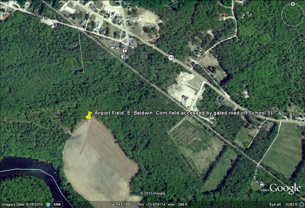
| Airport Field, East Baldwin | stocked | stocked | stocked | Map, links & land factsNo map link (location approximate)Release map |
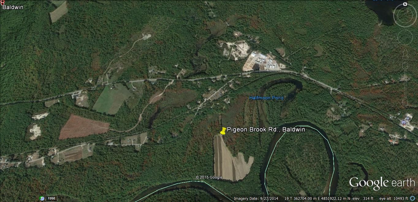
| Pigeon Brook Road | stocked | stocked | stocked | Map, links & land factsNo map link (location approximate) Field is accessed by gated gravel road off the east end of Pigeon Brook Road. Leaves Route 113 across from Limington Lumber Mill.Release map |
| Buxton | ||||
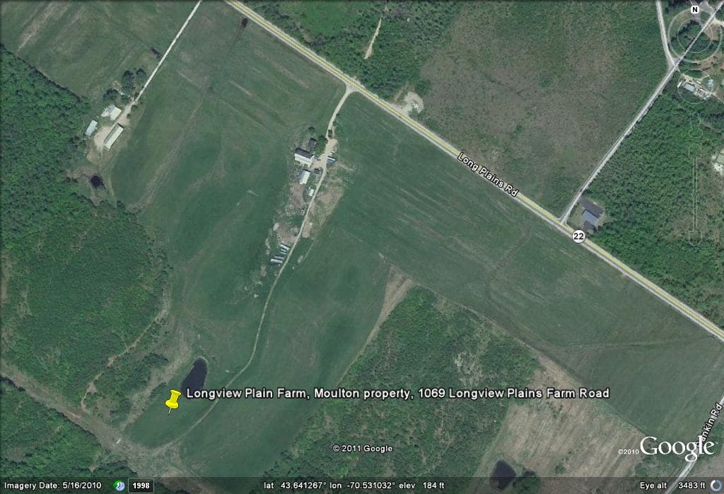
| Longview Plain Farm, Emery Property | stocked | stocked | stocked | Map, links & land factsNo map link (location approximate) 1069 Long Plains Farm Road. South side Route 22 in Buxton.Release map |
| Cornish | ||||
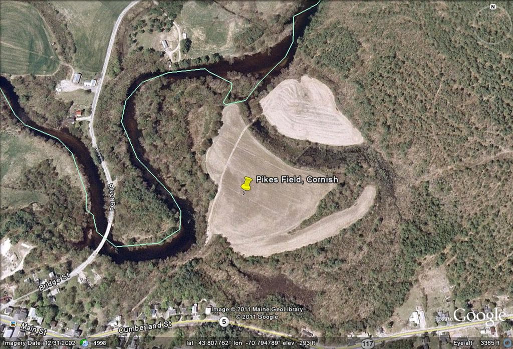
| Pikes Field, Cornish Intervale | stocked | stocked | stocked | Map, links & land factsNo map link (location approximate) Dirt Road (off Route 5). May drive to fields and park on edge of fields.Release map |
| Dayton | ||||
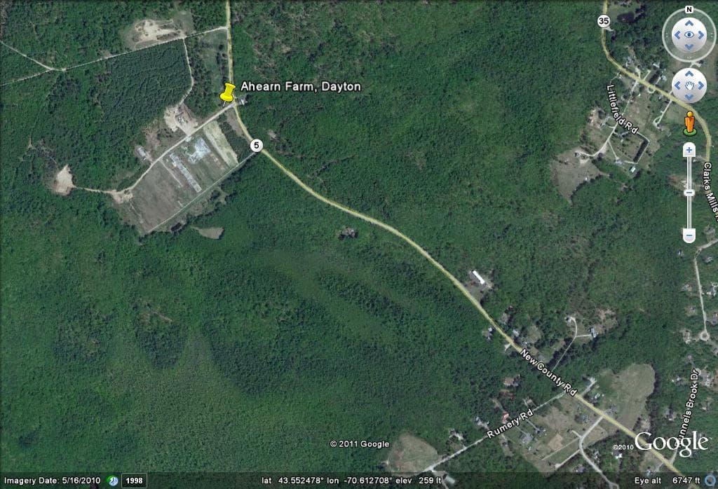
| Ahearn Farm | stocked | stocked | stocked | Map, links & land facts |
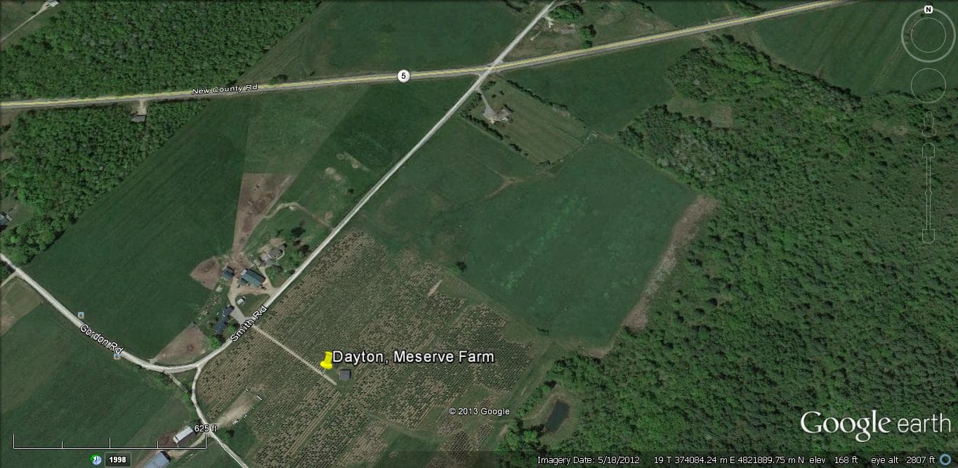
| Meserve Farm | stocked | stocked | stocked | Map, links & land facts |
| Gorham | ||||
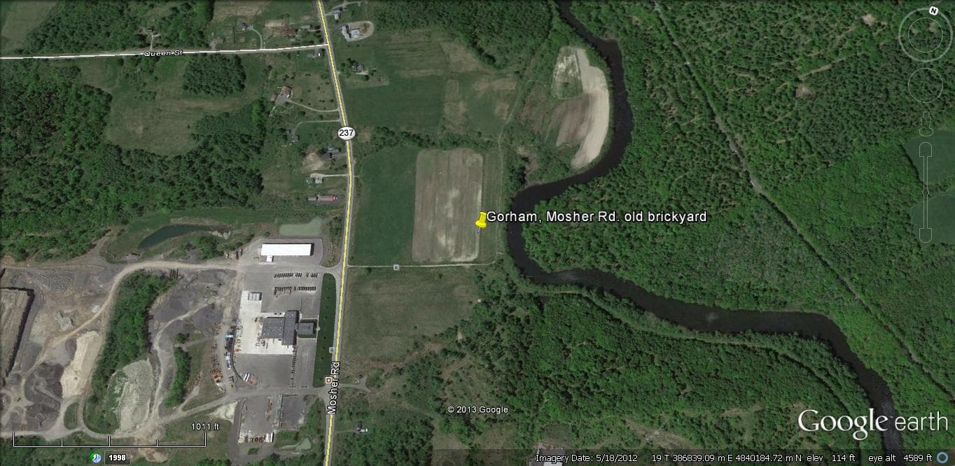
| Brickyard | stocked | stocked | stocked | Map, links & land facts |
| Poleline/Mosher Farm | stocked | stocked | stocked | Map, links & land factsNo map link (location approximate)Release map |
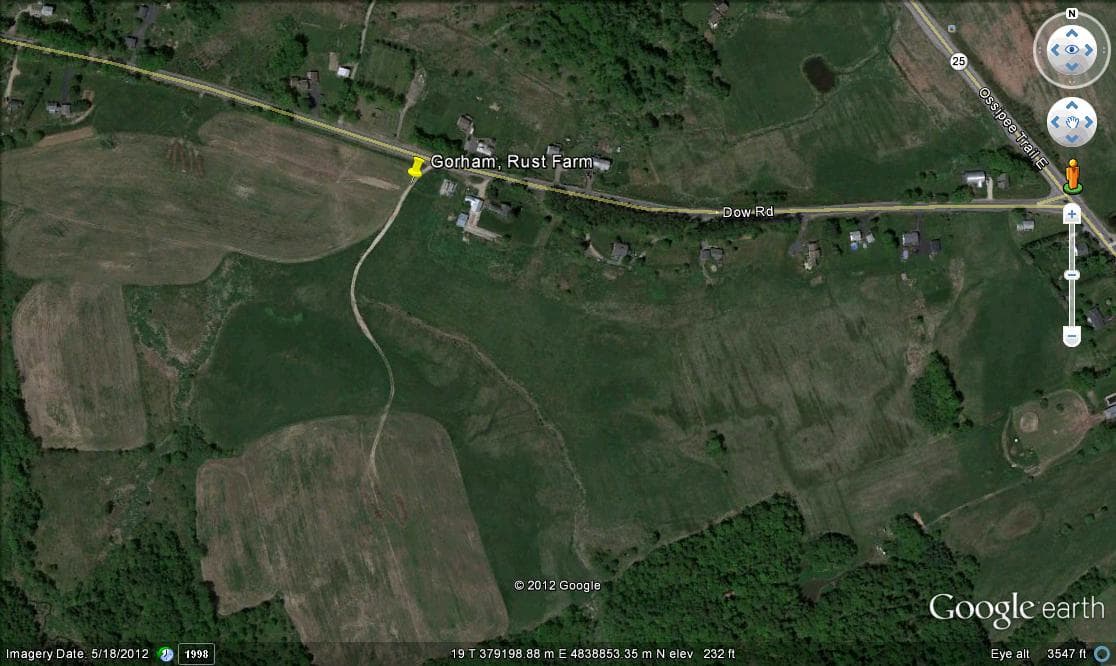
| Rust Farm | stocked | stocked | stocked | Map, links & land facts |
| Hollis | ||||
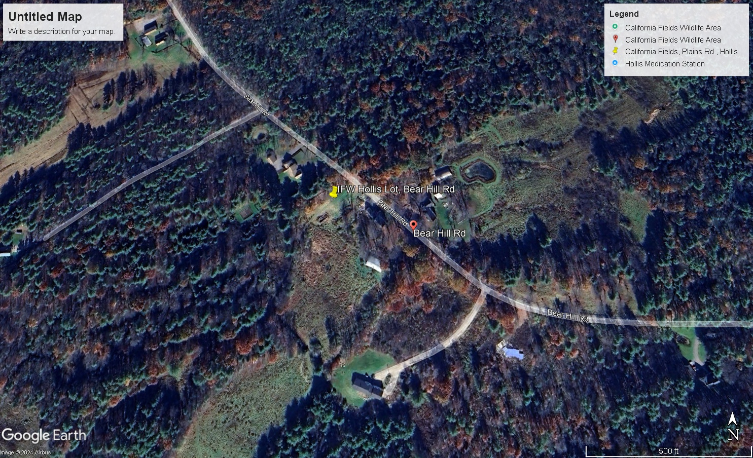
| MDIFW Property, Bear Hill Rd | stocked | stocked | stocked | Map, links & land factsNo map link (location approximate)Release map |
| California Fields, Plains Rd. | stocked | stocked | stocked | Map, links & land factsNo map link (location approximate)Release map |
| Lyman | ||||
| Roberge Farm, Hill Road | stocked | stocked | stocked | Map, links & land factsNo map link (location approximate)Release map |
| Kennebunk | ||||
| Kennebunk Plains Wildlife Management Area | stocked | stocked | stocked | Map, links & land factsOpen in maps43.4032, -70.6354Public land:1,754 acreswalk-in access South of Rt 99 - Due to upcoming prescribed burns, stocking at Kennebunk Plains occurred south of Maguire RdRelease mapProperty page |
| Scarborough | ||||
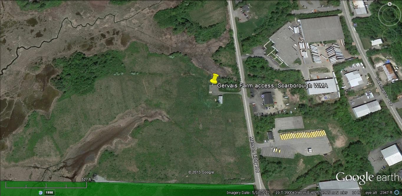
| Gervais Farm/Scarborough Marsh Wildlife Management Area | stocked | stocked | stocked | Map, links & land factsNo map link (location approximate)Scarborough Marsh Wildlife Management Area3,100 acreswalk-in accessAlso hunted here: American woodcock, American black duck, Blue-winged teal, Wood duck, Canada goose, White-tailed deer, River otter, Muskrat Manson Libby Road. Access via Industrial Park (Non-toxic shot only.) Please stay out of signed/flagged area due to recent habitat management work. Young trees were recently planted and are susceptible to damage.Release mapProperty page |
| Beech Ridge Pit | stocked | stocked | stocked | Map, links & land factsNo map link (location approximate) Park at gate to Grondin pit on south side of Beech Ridge Rd.Release map |
| Standish | ||||
| Grondin/Phinney site | stocked | stocked | stocked | Map, links & land factsNo map link (location approximate) Park at gate on pit access road across from former Outpost Grill on Rt. 113.Release map |
| Wells | ||||
| Kennebunk Water District | stocked | stocked | stocked | Map, links & land facts |
| York | ||||
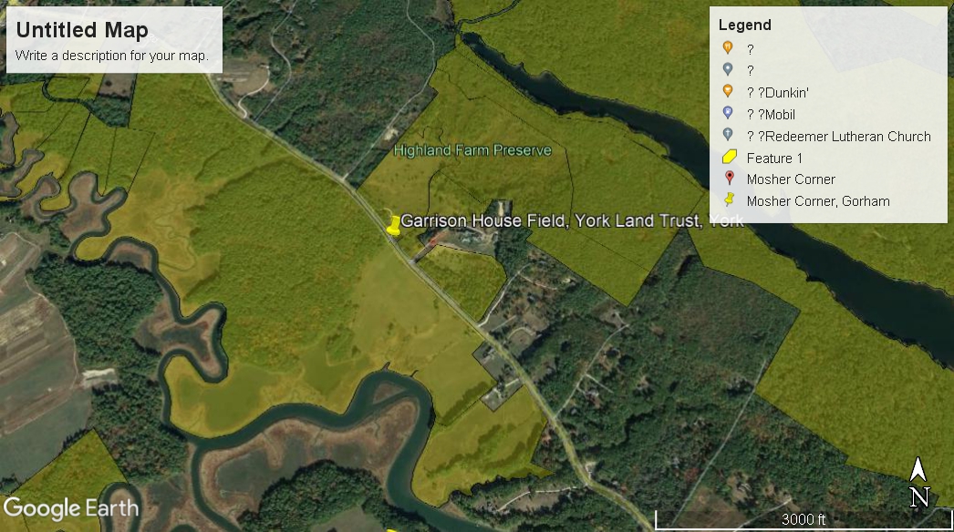
| Garrison House Field in York - York Land Trust | stocked | stocked | stocked | Map, links & land facts |
| Berwick | ||||
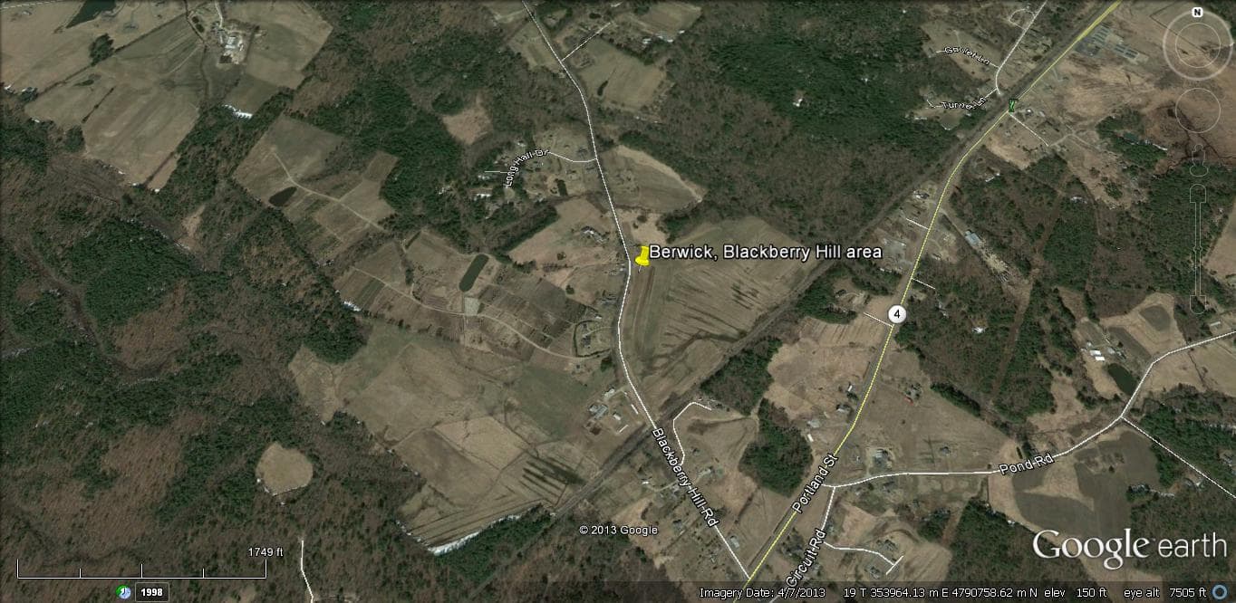
| Blackberry Hill Area, Berwick | stocked | stocked | stocked | Map, links & land facts |
Maine Department of Inland Fisheries and Wildlife